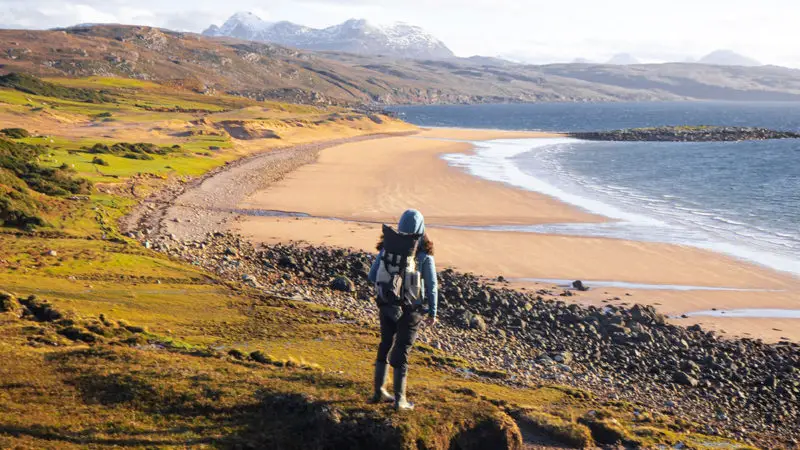
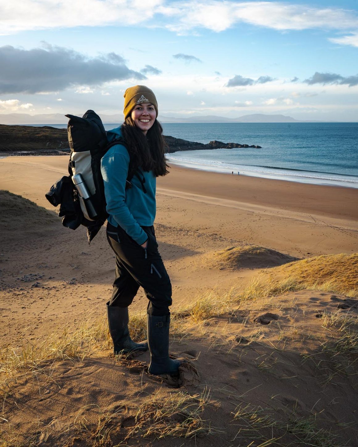
Red Point is a remote peninsula 10 miles southwest of Gairloch in Wester Ross on the west coast of Scotland. It has two secluded sandy beaches that are backed by reasonably tall dunes and grassy slopes, with the most northerly being characterised by its red-hued sand. This is a great destination for anyone seeking to find some tranquillity for a moment, a quiet dog walk in solitude or to spot some wildlife. With each beach being a must-see; the Red Point Beach Walk combines both to create a short round-trip with spectacular views of the Hebrides on a clear day.
Table of Contents
Don’t have time to read this now? Pin this blog for later.
Have a look at our Scottish Google Map Legend for all of the best recommendations at the touch of your fingertips! This must-have resource pinpoints the most important locations, such as park-ups, restaurants and sites to see… All for your convenience!
Red Point Beach Walk
The Red Point Beach Walk is 5 kilometres in total. This can take approximately 2 hours to complete. If you didn’t have the time, you could just walk to one beach and return the same way.
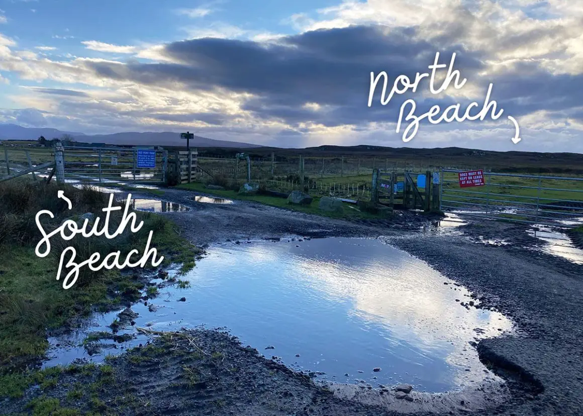
To begin the full walk, enter the farm via the gate on the left. Follow the track until you reach the old salmon fishing station on the South Beach. This is the most southernly point on the trail.
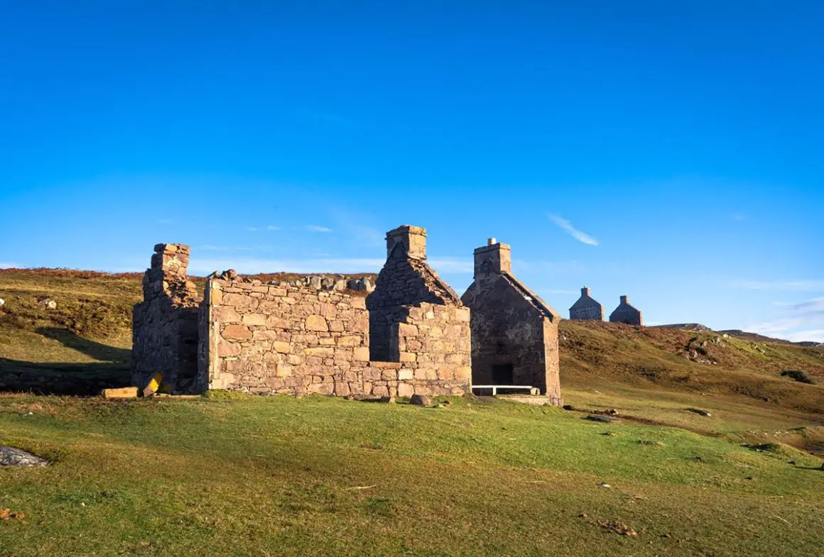
The South Beach of Red Point is a fantastic place to admire the Applecross peninsula, Isle of Raasay and the Trotternish peninsula of Skye from a distance. If the tide is low, you will also be able to explore the small offshore island. If you choose to do so, keep an eye on the tides for the journey back. This island is called Eilean Tioram.
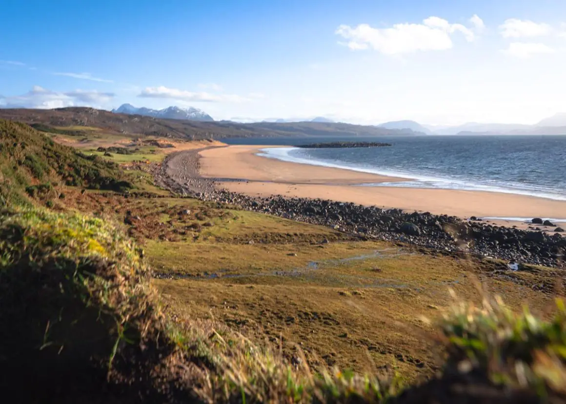
To continue along the circuit, exit the west end of the beach to find a faint trail that follows the coastline of the peninsula. This segment is particularly boggy. To avoid the inevitable soggy dramas of said route, return to the car park along the same track that you followed to the South Beach.
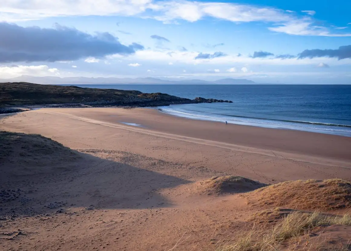
If you are following the full circuit walk, climb over a fence stile after approximately 2 kilometres to head towards the North Beach of Red Point. The Isle of Lewis and Harris in the Outer Hebrides is often visible upon the horizon. Find your route down onto the beach, and cross the river at your own convenience. From the middle of the beach, you’ll notice a gap in the sand dunes. This leads walkers back towards the gate at the car park.
Furthermore, Red Point is also the beginning of a trail that spans 7 miles southeast along the coastline to Lower Diabaig. Of course, this is a beautiful walk and a great extension to your initial trail, but you will need to consider transport at the other end. This isn’t a circuit; the shortest road route back is 45 miles long.
READ: Where is the Pyramid in Scotland?
Terrain
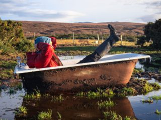
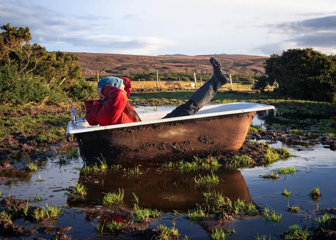
Walkers will initially be led by a vehicle track as the circuit begins at the farm, although this doesn’t necessarily mean that there will be steady ground to easily manoeuvre across. Cattle regularly graze in the surrounding fields so the ground can often become extremely muddy. The tracks can also become waterlogged with deep puddles from side to side. In addition, the walk between the two beaches is without any path or trail. It is rough and wet, and to that point, you will essentially be bog-hopping. Therefore, it is highly recommended that walks take the necessary cautions and wear appropriate footwear.
Car Parking
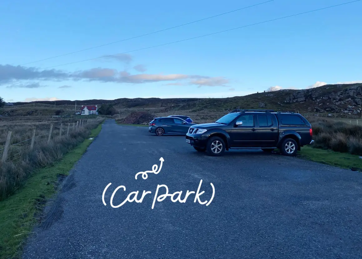
There is a free public car park at the end of the road beyond Red Point. It has space for approximately 10-12 vehicles.
Facilities
The remoteness of the area is its unique selling point. Therefore, visitors shouldn’t expect any facilities… In fact, there are none for miles!
Public Transport
The local bus (Nº 85) links Gairloch to Redpoint. Unfortunately, this service only operates during school hours. This isn’t completely practical for the walk, though some might find it useful for camping or day trips.
Red Point Beach Wild Camping
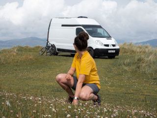
The ‘right to roam’ in Scotland is relevant to the beaches of Red Point as long as the outdoor access rights are being applied; take away your litter, remove any traces and use a stove (instead of an open fire) wherever possible.

ALSO: Find Europe's Smallest Castle in Scotland
Frequently Asked Questions
How do you get to Red Point Beach?
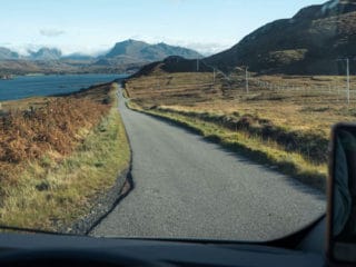
To find the beach car park, drive just beyond the Redpoint settlement. You cannot miss the parking as it marks the very end of the single-track road (B8056) which stems from a main road (A832) that leads from Gairloch. From the car park, follow the gate on the right to discover Red Point North Beach and the gate on the left for Red Point’s South Beach.
Are dogs allowed on Red Point Beach?
The Red Point Beach Walk is a great place for dog walking. There are no restrictions on our furry friends. However, sheep and cattle are often grazing in the enclosed fields so dogs should be kept on a lead during those times.
SEE: Best Places to Visit in Scotland (Written By A Local)
Let’s go!
@katie.maree
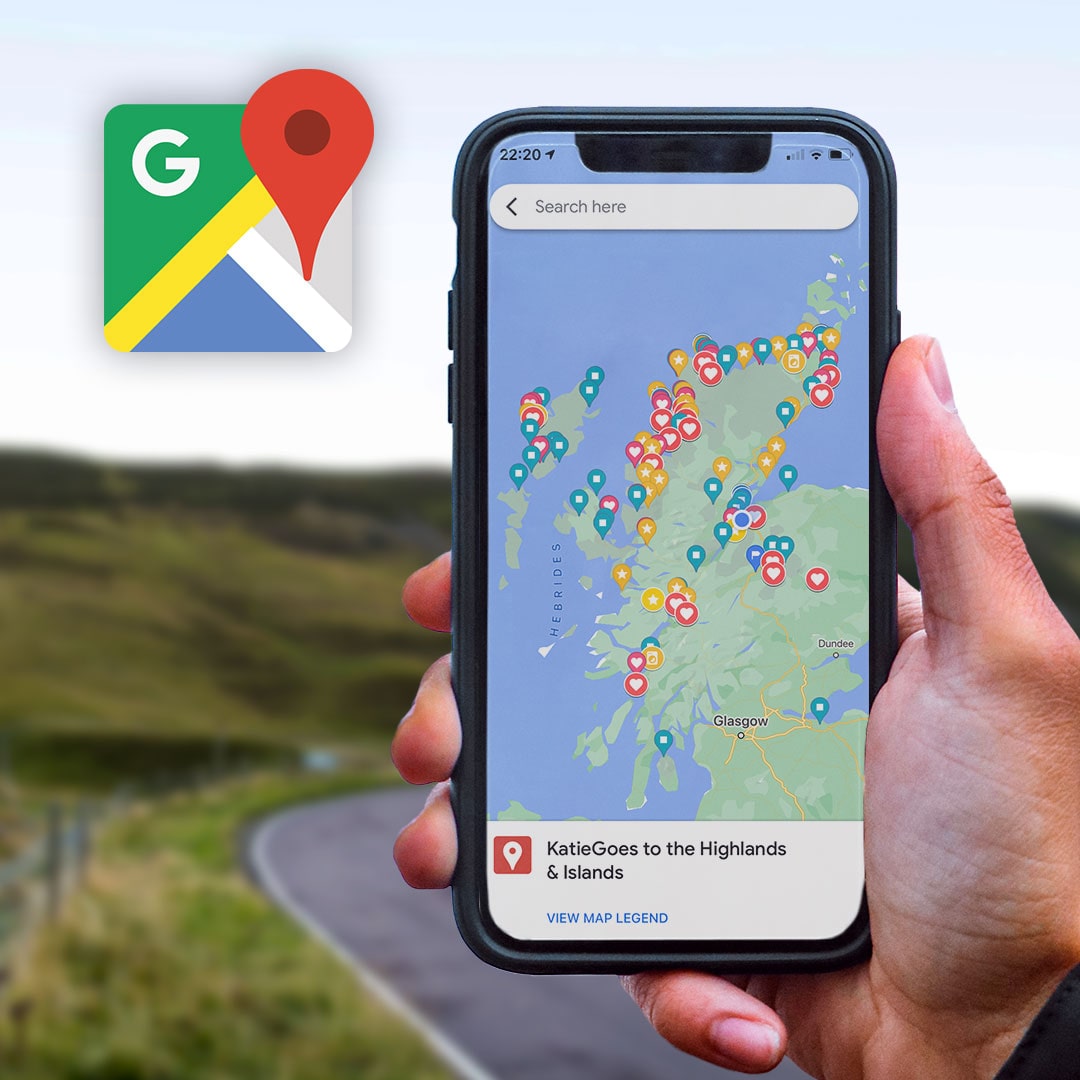
Scottish Highlands Google Map Legend
This Google Map Legend showcases 140+ need-to-know coordinates within our bonnie Scottish Highlands & Islands:
- Awesome Wild Camping Park-Ups
- Best Walks, Viewpoints, Beaches
- Bucket List Locations
- Accessible Showers & Fresh Water Taps
- Relevant Links to Online Travel Guides
Save this on Pinterest
Would you like to access these directions to the Red Point Beach Walk later? Hit PIN to save the article.

