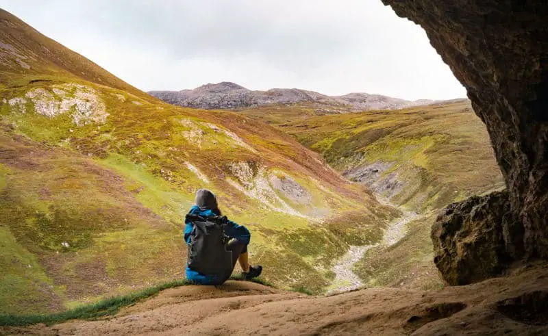
Both the journey and the remarkable views that are visible from the Bones Caves, make for the perfect introductory walk to the northwest Highlands of Scotland. If you are looking for a short hike within your NC500 road trip, or are searching for things to do near Ullapool… Pin this gem to your vision board or bucket list!
The Bones Caves are named after the animal remains that geologists excavated from the location. Bones were found of a brown bear, arctic fox, northern lynx and more excitingly, a polar bear! Unfortunately, there are no bones inside the caves today.
Overall, this hike is just over 4 kilometres and should take about an hour and a half, or two hours at a more leisurely pace, to complete. The track is easy-to-follow with reasonable and dry terrain. Needless to say, you should still come prepared with suitable footwear that has a decent grip.
There are no facilities anywhere close to this trail, so you will need to bring water, snacks and have had been to the bathroom prior to your car journey to the starting point.
Are you ready to discover the Bones Caves?
Where is the Best Place to Park?
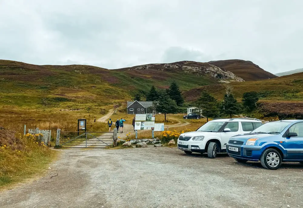
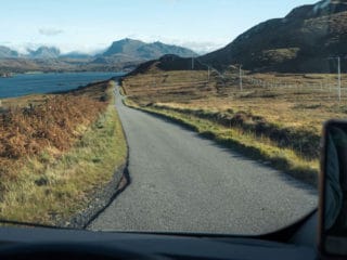
The trail to the Bones Caves begins from a fairly small car park. This space is located where the A837 intersects River Loanan between Elphin and Inchnadamph. Be careful not to miss this turn-off as there are very few places to stop and turn back around. Yes, I am talking from experience.
Open car park location in Google Maps for directions.
Alternatively, purchase our Scottish Highlands & Islands Google Map Legend for full access to all of our recommended points of interest at the convenience of your fingertips.
There isn’t a lot of space in this car park. Due to it’s closeness to the main road, there also wouldn’t be much leeway for overspill. Plus, there aren’t many other safe areas nearby to leave your car. With this in mind, it’s recommended that you arrive early, especially if you are travelling with a larger vehicle such as a camper. Motorhomes should not park here unless it’s during the quieter season of winter.
See Also: Where is the Pyramid in Scotland?
How to Find the Caves
Starting Grid Reference: NC 253 178
Begin your journey to the Bones Caves by exiting the car park through the fence opening next to the large gate. A well-trodden 4×4 track will guide you past a wooden building on the right before funnelling down into a smaller footpath through the fern. You’ll know you are going the correct way once you pass a small, but beautiful, river feature named Allt nan Uamh Waterfall.
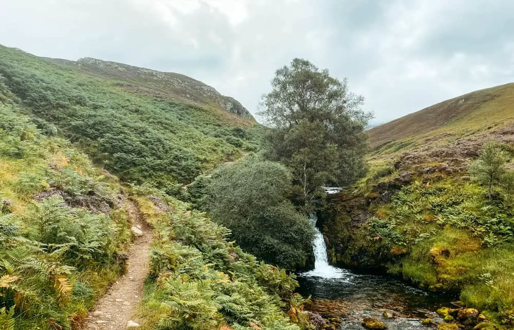
This trail starts to climb gradually before reaching a large spring, called Fuaran Allt nan Uamh. From here onwards, you can follow the path that meanders alongside what is normally, a dry river bed. The set of caves should be visible on the crag up ahead once the valley begins to narrow.
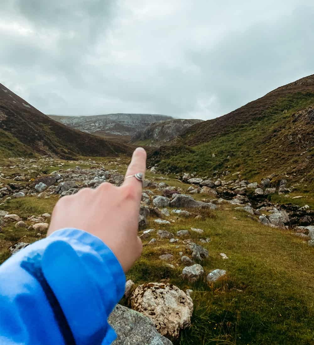
Don’t forget to keep an eye out for any red deer that could be watching from the slopes above.
The only way you could go wrong on this trail would be to miss the right turn at a fork in the path. Even if you missed this, you could always find another, albeit steeper, path that would take you to the same end destination. So, for the quickest and simplest route, look out for a junction that is marked by a large boulder (pictured below). This marks the start of the circuit.
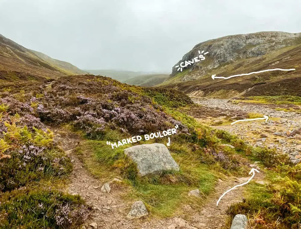
Once you’ve spotted this rock, take the right-hand fork across the river bed. Soon after, the trail will start to climb towards the base of the crag with the caves. It won’t be long before you arrive at your dramatic end destination.
Caves Grid Reference: NC 267 170
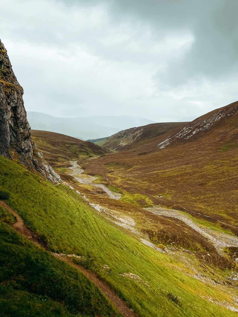
looking towards the car park from the caves 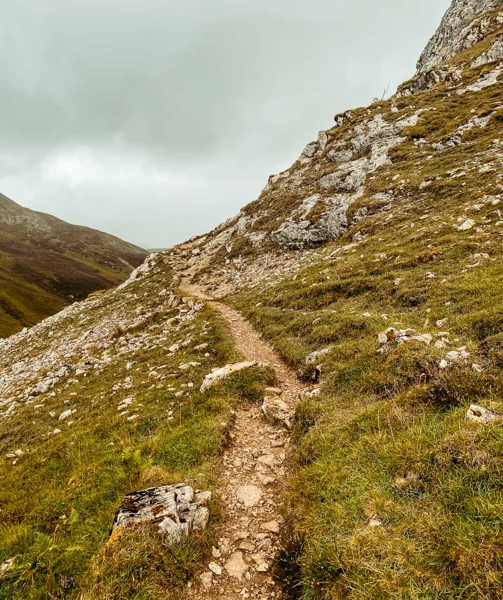
the trail just before the caves
Also in the Area: Stac Pollaidh - Scotland's Best Wee Hill Walk for Beginners
Exploring Bones Caves
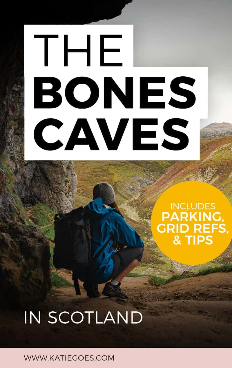
There are three main caves, all of which are open and pretty shallow. They are called Badger, Reindeer and Bones.
Each cave can be entered with care, though please be cautious of the steep slope and loose rock that overlooks the valley. The insides of the caves themselves can often be wet and slippery.
To return, you can either walk back the way you came or follow the path to the right (as you look out of the caves). This track will snake down the slope to the smaller valley where you can rejoin the path that heads in the direction of the car park.
Are you heading north?... Don't miss seeing The Wailing Widow Falls or the Kylesku Bridge!
Let’s Go!
@katie.maree
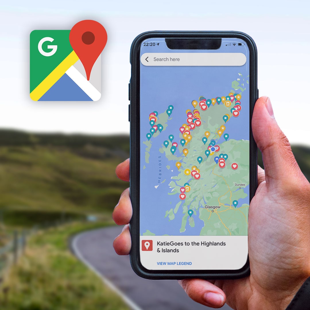
Scottish Highlands Google Map Legend
This Google Map Legend showcases 140+ need-to-know coordinates within our bonnie Scottish Highlands & Islands:
- Awesome Wild Camping Park-Ups
- Best Walks, Viewpoints, Beaches
- Bucket List Locations
- Accessible Showers & Fresh Water Taps
- Relevant Links to Online Travel Guides


7 comments